A friend and I eventually had the idea of going on a hiking vacation together. Since mountains are awesome, the destination was basically settled: it had to be a mountain range. By then, however, we knew the Alps fairly well, and especially after the pandemic years we had little desire to join a neatly organised hiking conga line on the familiar trails. So we chose the High Tatras, a surprisingly compact high mountain range on the border between Poland and Slovakia.
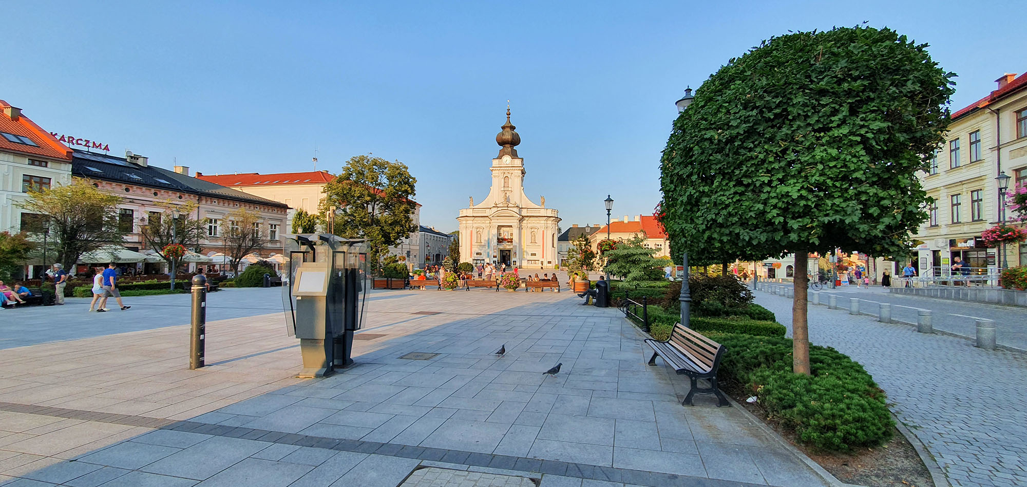
Wadowice Market Square
Since bike trials is one of my friend’s main hobbies, a few trials parks also had to feature along the way. I prefer to practise bike trials from a safe distance. Any trials bike would probably spontaneously combust the moment I tried to stand on it.
The plan was to spend a few days on the Polish side of the High Tatras before continuing on the Slovak side. Our journey first took us from Germany to Wadowice, where we stopped for a day. The Trials World Youth Games were supposed to take place there, but had been cancelled because of the pandemic. Since the vacation apartment had long since been booked, we simply turned the cancelled sporting event into a walk around town. That was by no means the worst substitute activity, as Wadowice turned out to be a remarkably beautiful town.
A Detour to Ochotnica Dolna
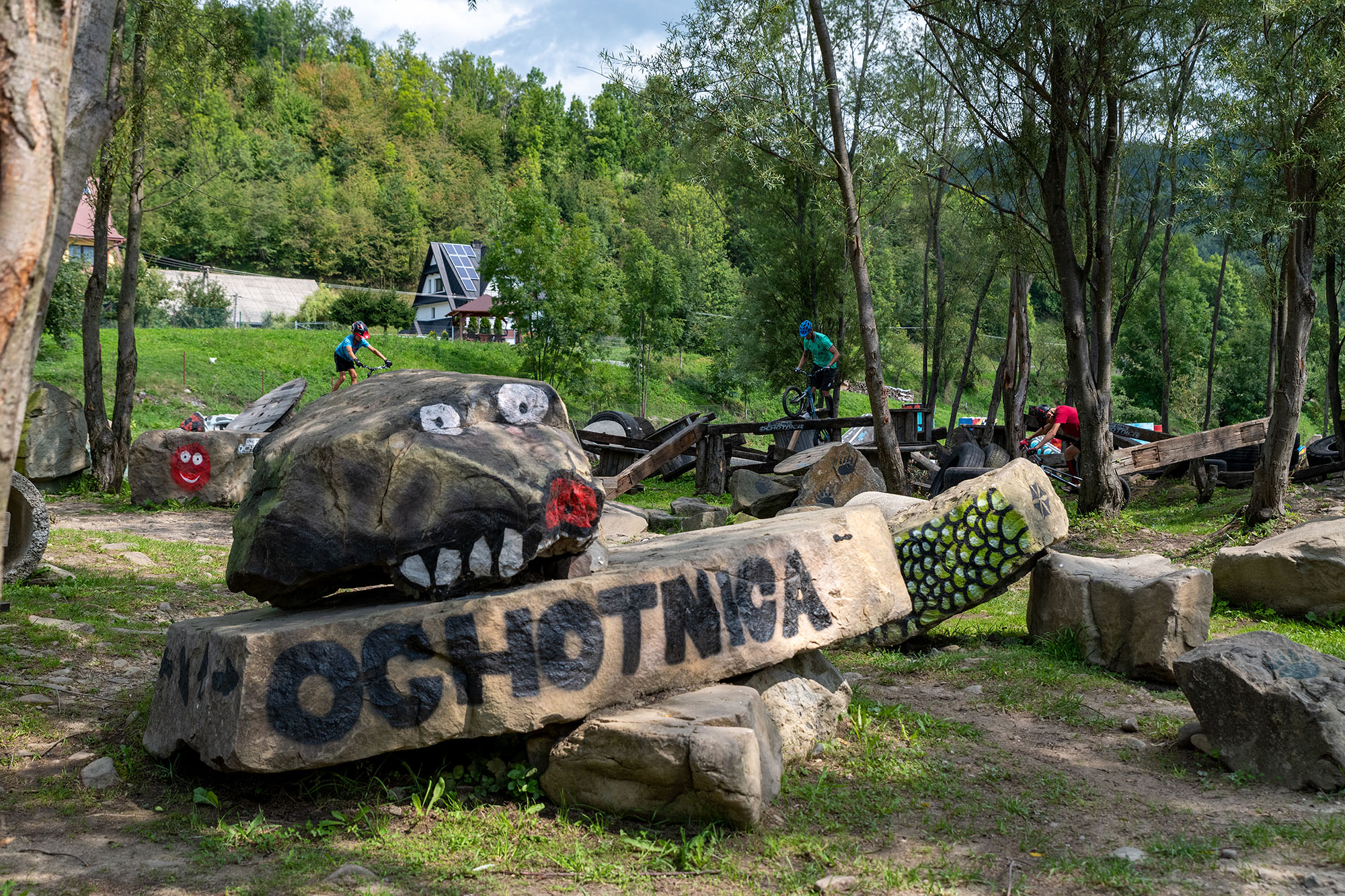
The trials park in Ochotnica
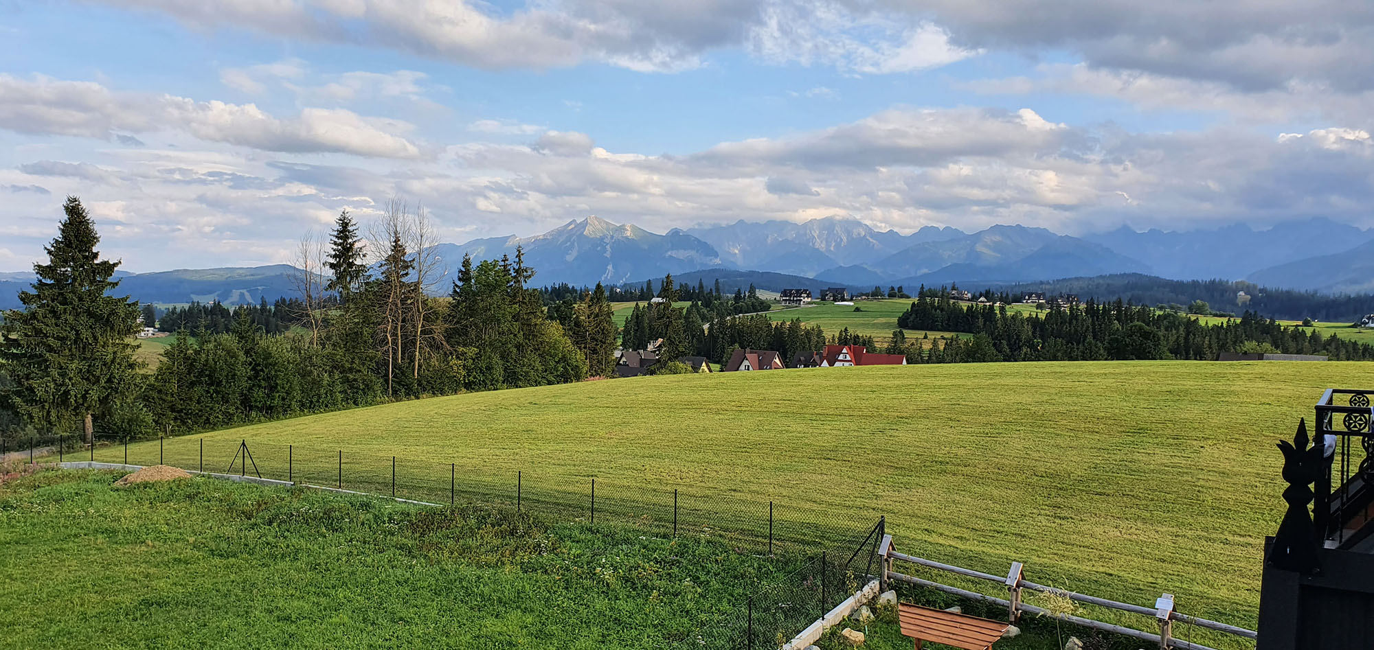
The High Tatras as seen from Bukowina Tatrzańska
The next morning, we continued to Ochotnica Dolna and its trials park. My friend was able to let off steam on the course, and before long the local trials crowd joined him. Apparently, bike trials does not require lengthy introductions. It is enough to tackle obstacles together that sensible people would probably just go around. As the supreme athlete that I am, I took up position at a respectful distance with a telephoto lens. At least that made my inactivity look like part of a photographic concept.
That evening, we continued towards the High Tatras and Bukowina Tatrzańska. The village would serve as our base for exploring the Polish side over the next few days.
First Hike – Giewont
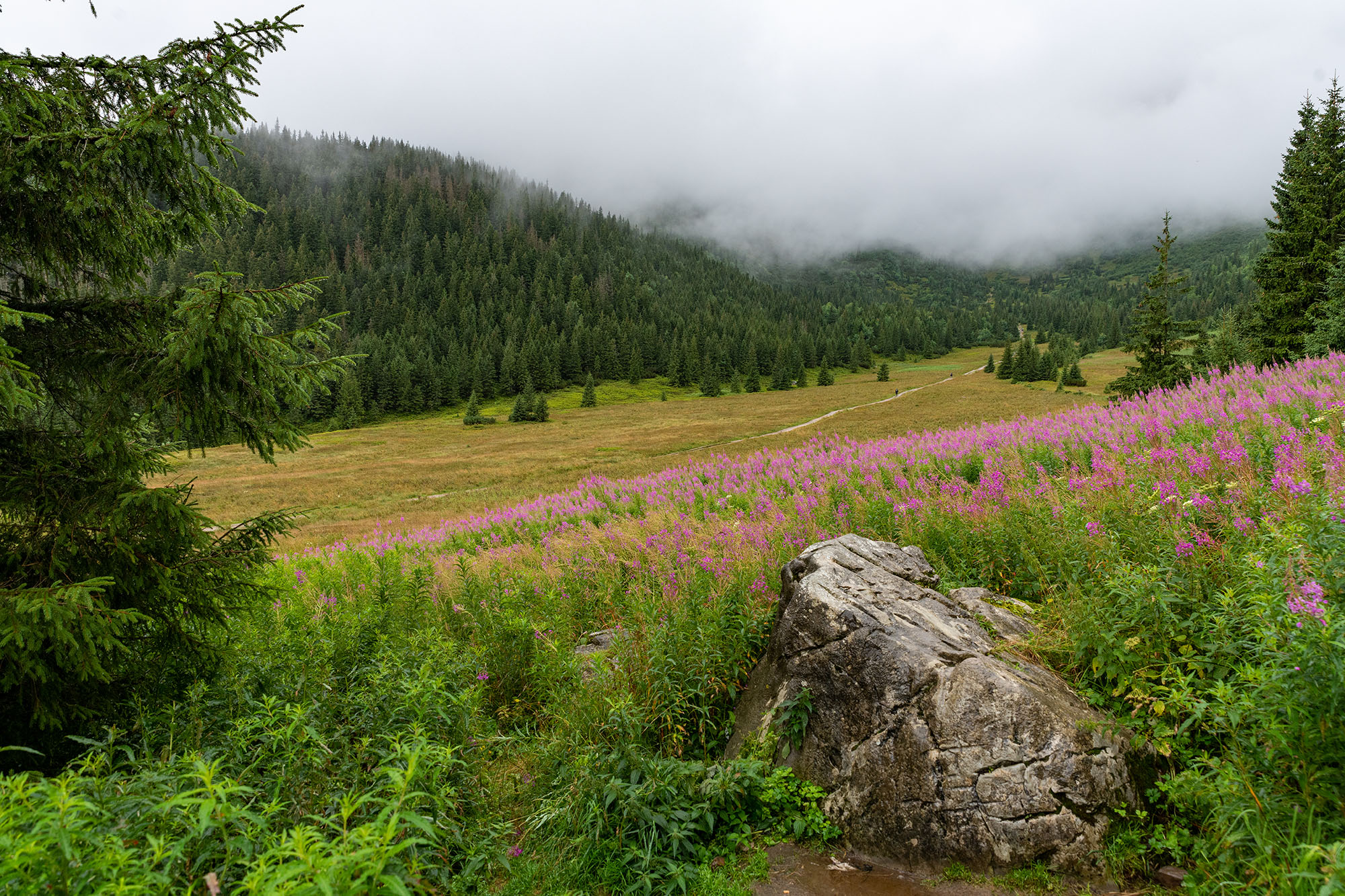
View into the valley
Our first hike was to take us up Giewont, the landmark of the Polish Tatras. From the outskirts of Zakopane, we first walked via Kuźnice and Hala Kondratowa to Kondracka Przełęcz. After the chain-secured summit section, the return route took us through Dolina Strążyska back to Zakopane. This was also the first serious test of my new gear and, as it turned out, above all of my judgement.
As a photographer, one naturally considers it perfectly reasonable to carry as complete a camera kit as possible up a mountain. Before the trip, I had therefore bought a 50-litre backpack with an integrated camera compartment, a Tilopa by F-Stop Gear. The backpack had excellent reviews, was very well made and genuinely felt comfortable. It lacked only one crucial feature: it could not improve the fitness of the person carrying it. When packing, I had apparently assumed that we would spend at least five days on the mountain, alternating between snowstorms, sandstorms, rain showers and heatwaves while also fending off wild bears. For food, I had brought Tactical Foodpacks, which can be prepared with a little water and a chemical heater. An ordinary sandwich apparently did not seem crisis-proof enough for this scenario. On top of that, I carried a first-aid kit whose contents would probably have made some small hospitals jealous.
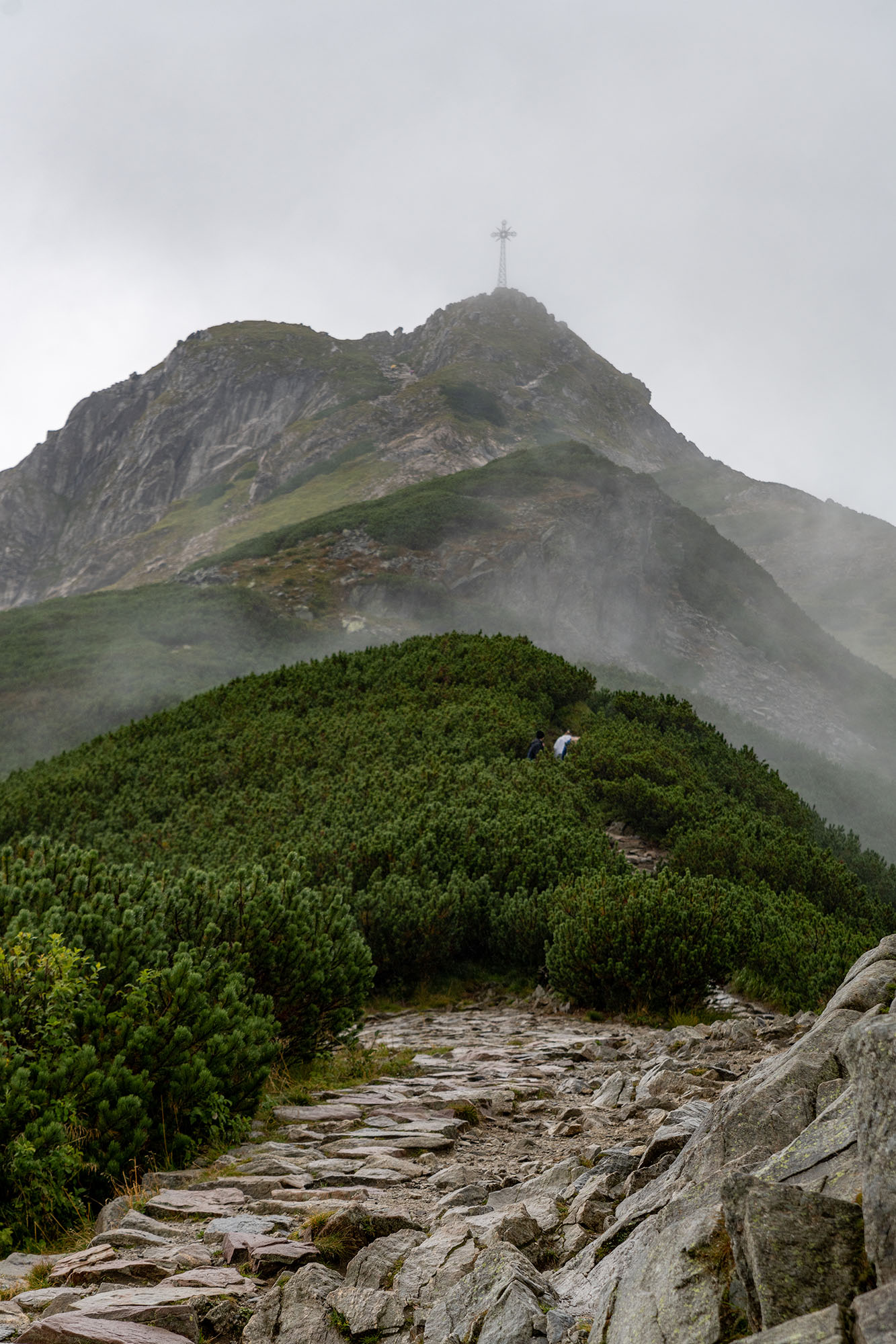
The summit
And, of course, the camera gear: a Nikon D850, the Nikon 14–24 mm f/2.8 (what feels like Nikon’s heaviest ultra-wide-angle lens), a 24–70 mm f/2.8, a 70–200 mm f/2.8 and a tripod. Altogether, the backpack weighed around 15 kilograms. The plan was an approximately 18-kilometre tour with about 1,100 metres of ascent. In retrospect, it is no longer possible to reconstruct beyond reasonable doubt what exactly I had been thinking.
The most useful item in my luggage was probably my Garmin GPSMAP, on which I had saved the route planned in BaseCamp. The device, enough water, some food and a rain jacket would largely have been sufficient for the hike. Everything else was essentially a mobile camera shop with an attached field kitchen.
It only took a few kilometres before I began to suspect that my packing priorities might have been slightly off. Even so, we fought our way up the mountain – considerably more slowly than planned. The weather was not exactly showing its most photogenic side either. Nevertheless, the tour was an impressive introduction to the High Tatras and a highly educational lesson in backpack packing. Above all, I learned that you do not have to prepare for every theoretically conceivable disaster just because there is still room for it in your backpack. At least we were able to eat at Schronisko Bukowina that evening, where the food deserved 10 out of 5 stars – and not only because it came after this first exercise in self-flagellation.
Second Hike – Kasprowy Wierch
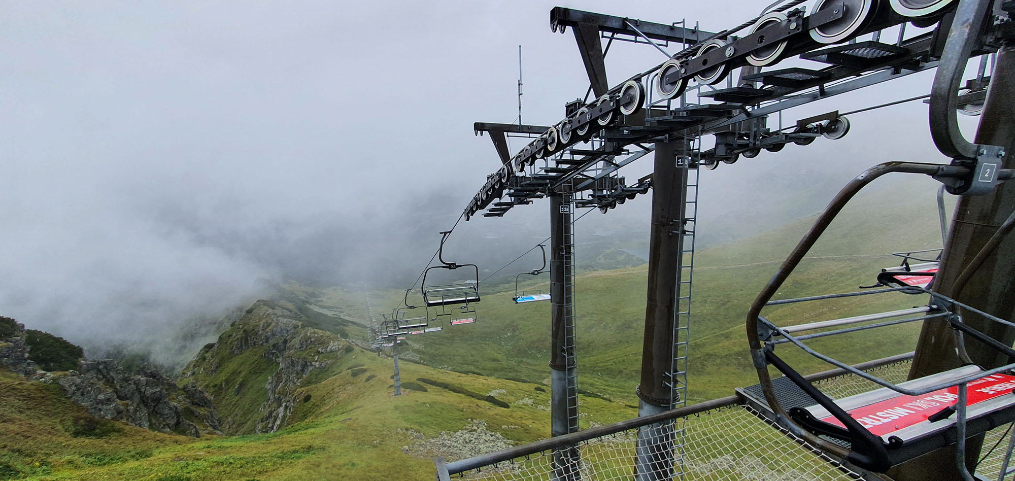
Cable car into Nirvana
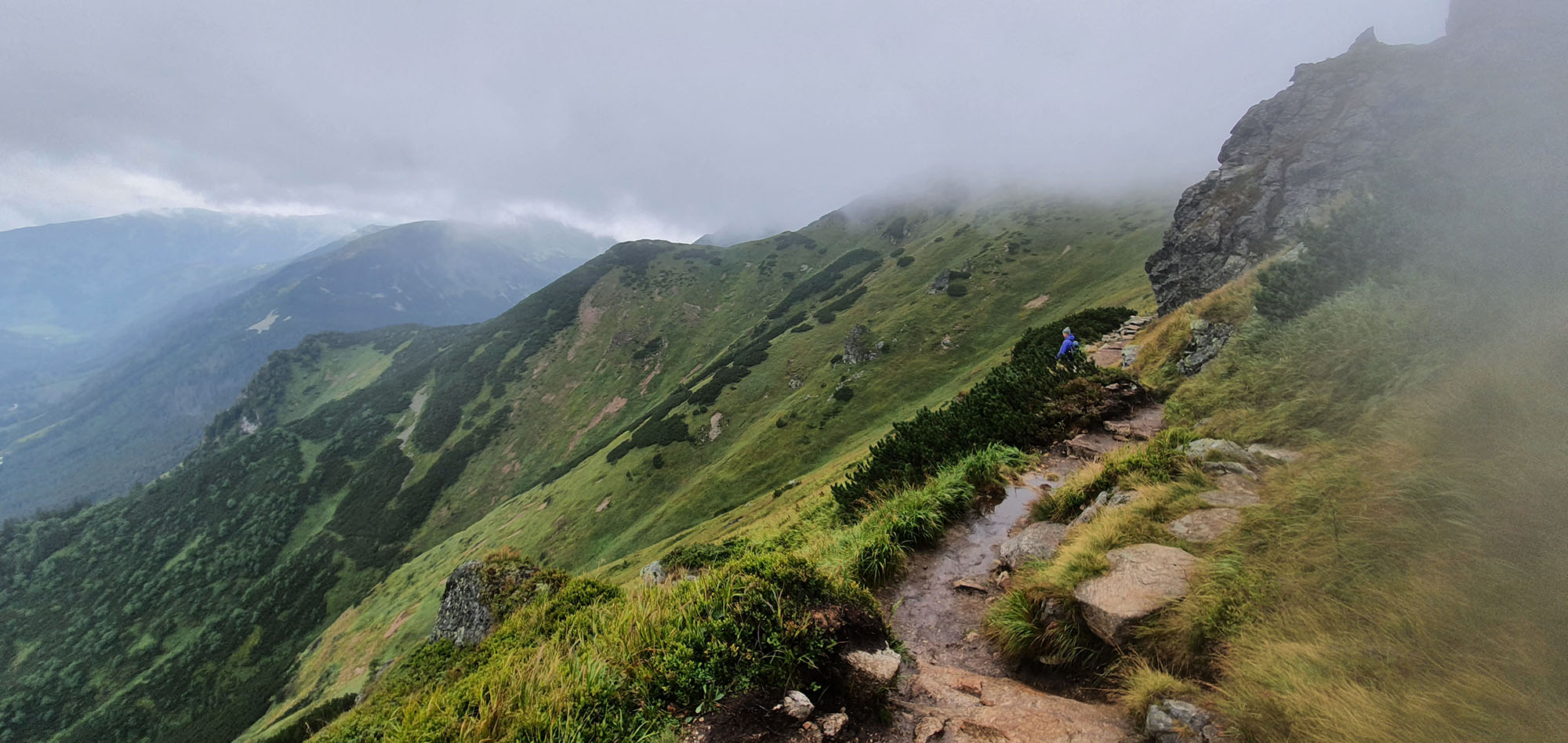
Below the clouds, the scenery was rather lovely
The second hike was supposed to be considerably more relaxed. We had, after all, learned from the first tour – partly through insight, but mainly through sore muscles. So we took the cable car up Kasprowy Wierch. The backpack was considerably lighter this time, and my phone would have to do as a camera.
For a photographer, that takes some getting used to, but for my back it was a remarkably sensible decision. From the top station, we followed the main ridge along the Polish-Slovak border as far as Przełęcz pod Kopą Kondracką. From there, we descended through Dolina Kondratowa, past Hala Kondratowa and Kalatówki, back to Kuźnice and on to Zakopane. The weather still showed little interest in cooperating with our holiday plans. The mountain air did us good nevertheless, and without half a camera shop on my back, the landscape was much more relaxing to take in.
Afterwards, we crossed the Slovak border to Poprad and moved into our next holiday apartment. At the local Decathlon, I also replaced my water bottle with a hydration bladder. From then on, this spared me the contortions required to reach the bottle in the side pocket while walking. It was a small but important step on the journey from fully equipped expedition photographer back to ordinary hiker.
Our Stay in Slovakia
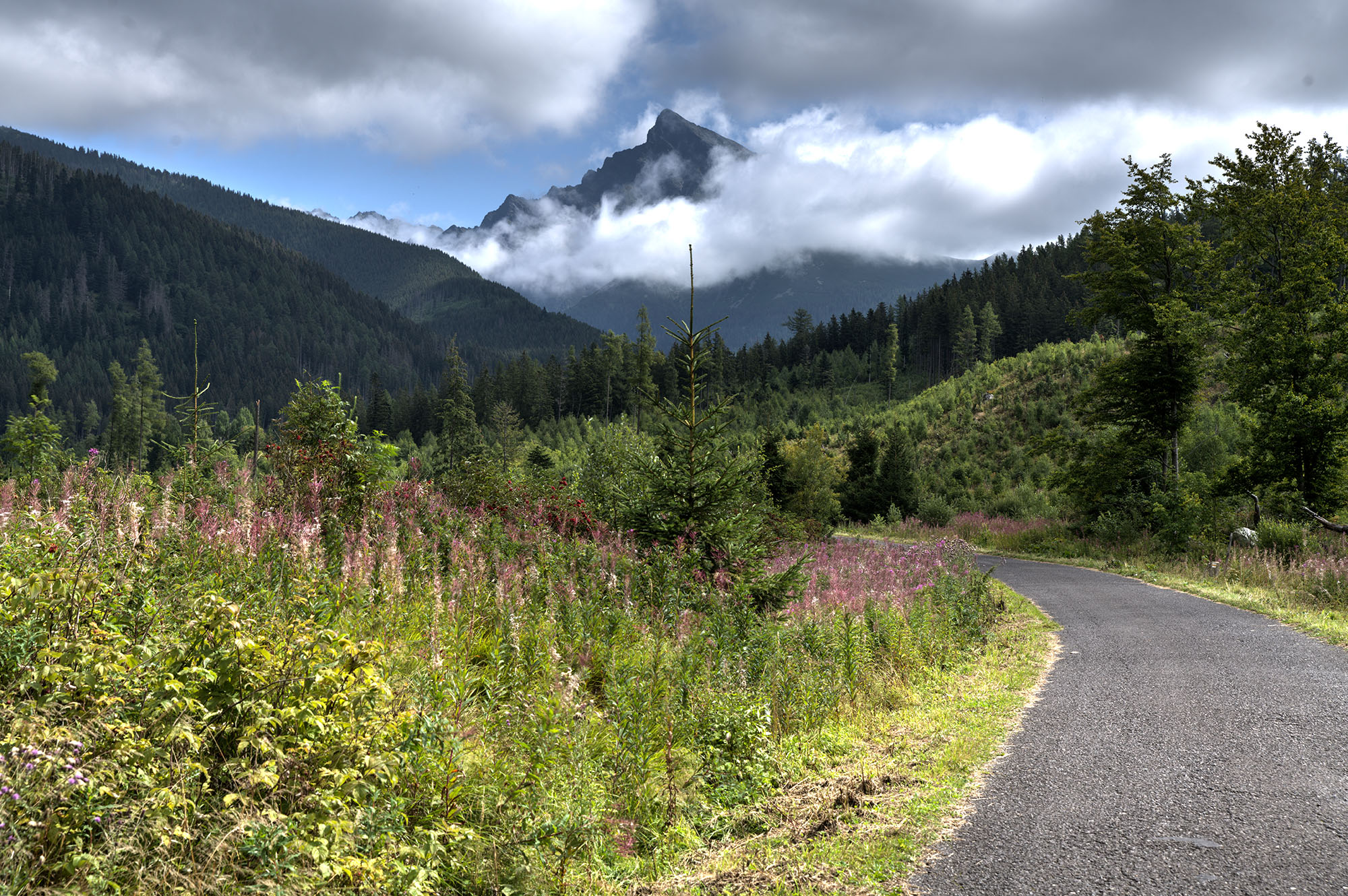
Kriváň, seen from the Silent Valley
We wanted to take things a little easier on our first day in Slovakia. My friend was apparently trying to do me a favour: in videos by the local trials club, he had spotted a promising photo location somewhere in Tichá dolina, the Silent Valley. So we first drove to Podbanské to walk “a few metres” into the valley from there. “A few metres”, however, is a unit of distance whose meaning becomes remarkably flexible on holiday.
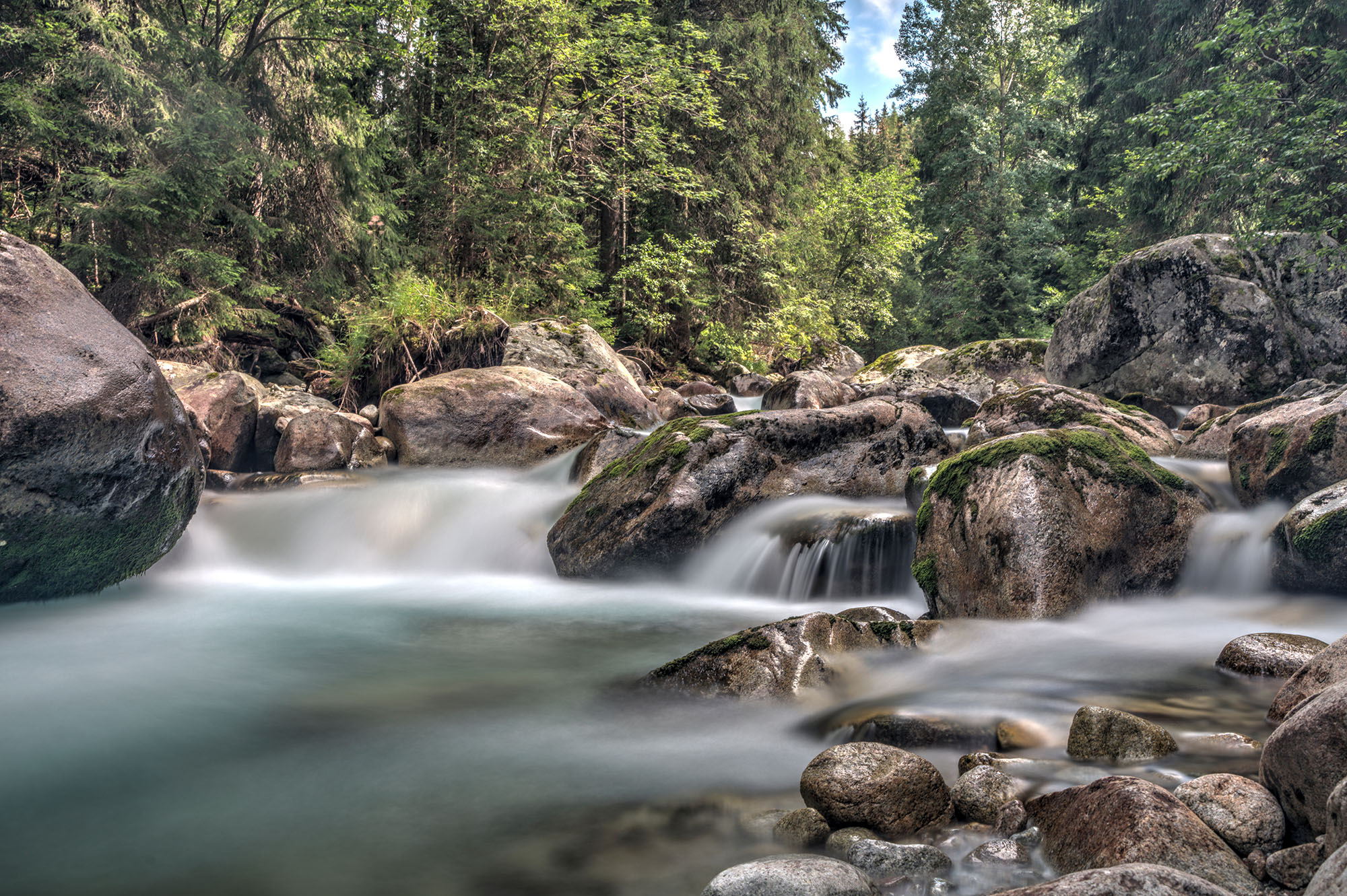
A typical long-exposure mountain stream
We did not find the photo spot we were looking for, but those few metres eventually turned into about five kilometres. Naturally, I walked them once again with a fully loaded camera backpack and ordinary street clothes. The supposedly quiet day had thus returned to our normal holiday programme sooner than expected. At least we found a few photo opportunities of our own along the way and enjoyed an impressive view of Kriváň, one of Slovakia’s most distinctive peaks. We also watched a rescue helicopter fly towards the summit almost every fifteen minutes. On the one hand, this reassuringly reminded me of the SOS button on my GPSMAP, which can be used to call for help via the satellite network. On the other hand, it was a fairly clear indication that these mountains should not be underestimated. Apparently, that second part of the lesson did not lodge in my memory quite as firmly as the first.
Afterwards, we also visited the local club’s trials park in Poprad, which happened to be within walking distance of our holiday apartment. For my friend, a holiday destination with a trials park and a Decathlon nearby was presumably fully developed in terms of essential infrastructure.
Third Hike: Bystrá lávka, or: Two Idiots versus the Mountain
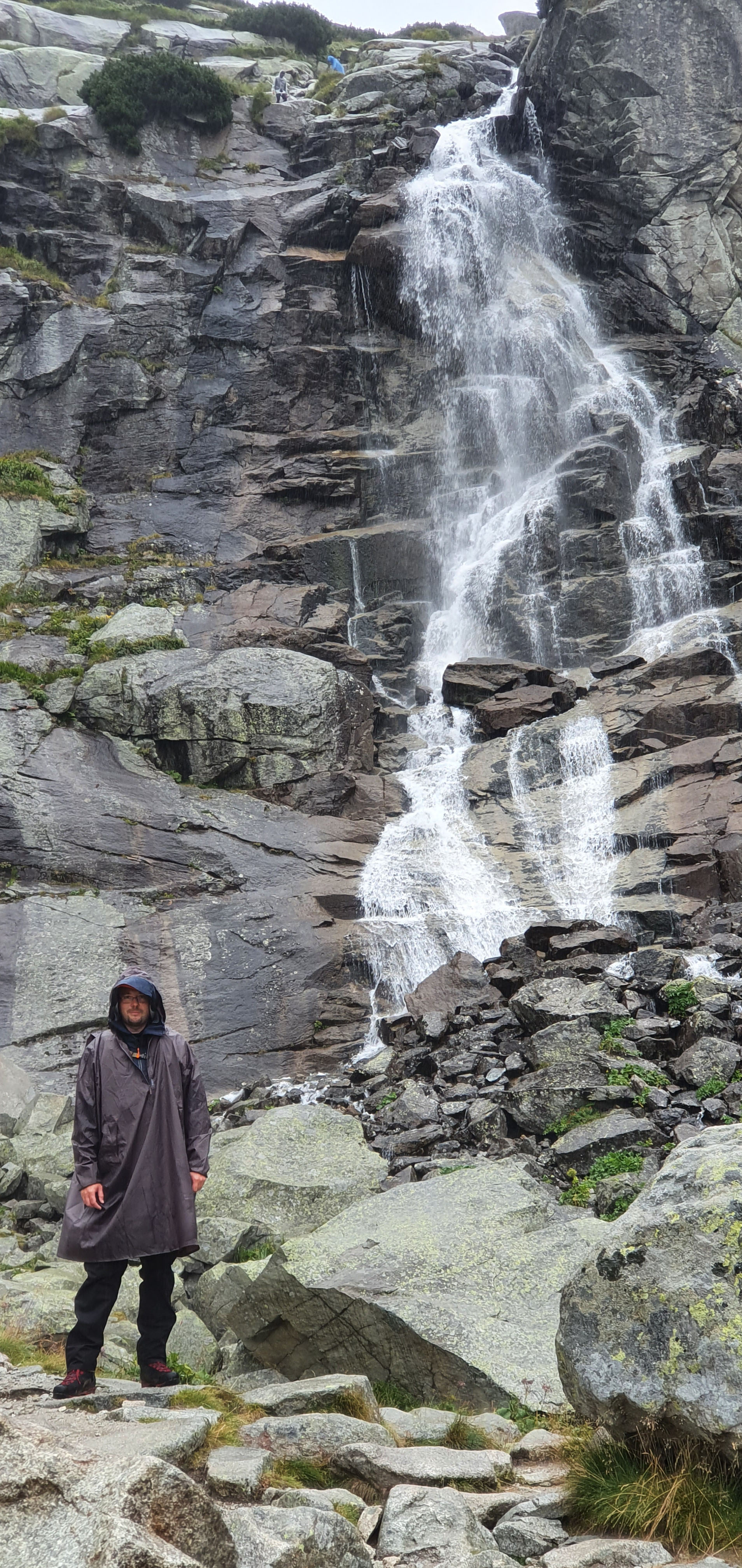
Skok Waterfall. Unfortunately, I have no idea why I am standing there like that either
For our third hike, we had chosen the most demanding tour of our stay: the circular route from Štrbské Pleso through Mlynická dolina, across the Bystrá lávka saddle and back through Furkotská dolina.
We set off in Štrbské Pleso, the well-known winter sports resort my parents still remembered from the days of East Germany. I was already slightly out of breath after the short climb from the car park to the mountain lake of the same name. An excellent omen.
The trail initially led through dense forest. As we gained altitude, the vegetation gradually thinned out – as did the number of people we encountered. Eventually, we reached Skok Waterfall, beside which the trail climbed through its first chain-secured section. Above the waterfall, a Slovak man in trail-running shoes and ultralight gear came towards us. In English, he warned us that we should turn back because bad weather was moving in.
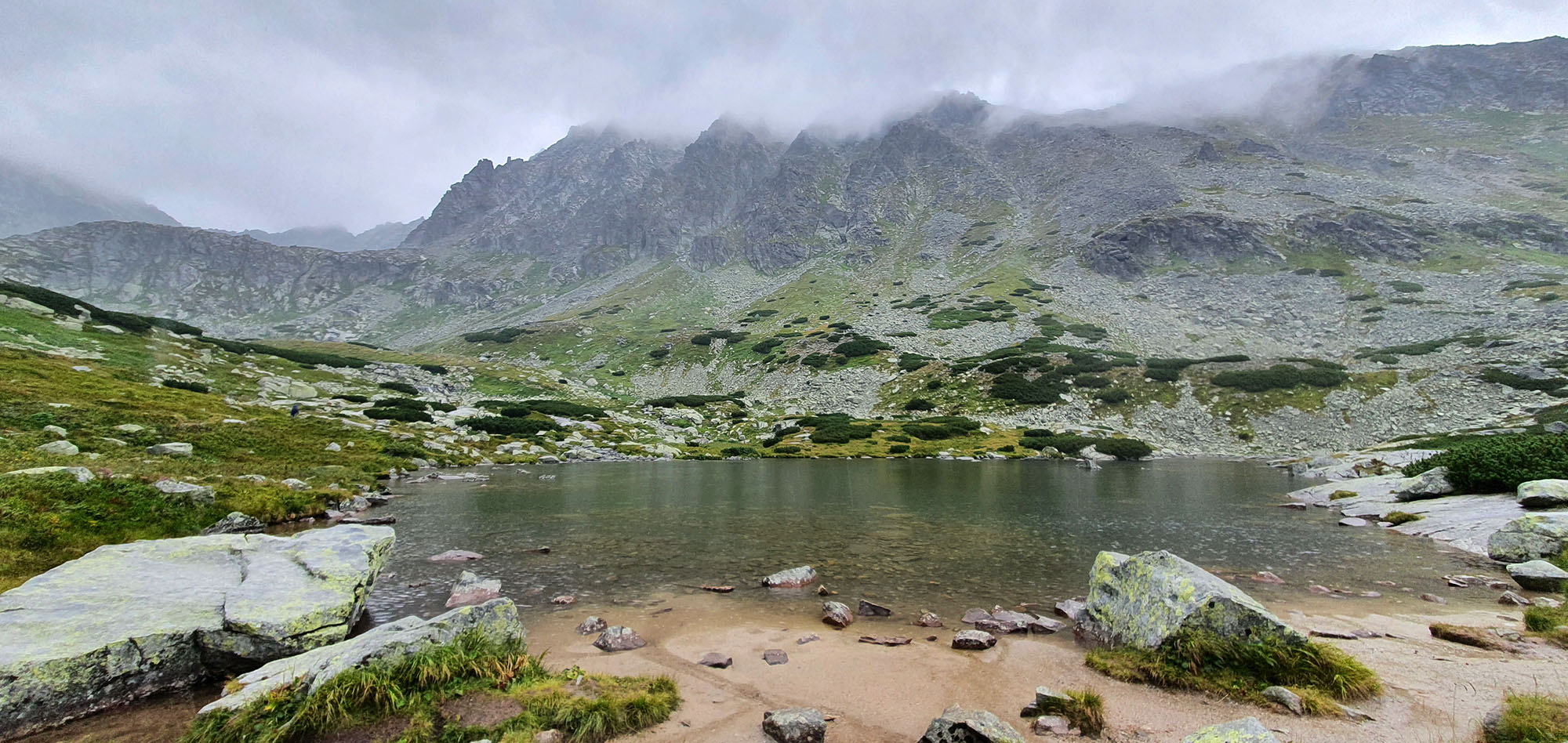
Pretty mountain lakes
Right. After the disastrous start to the first hike with half a camera shop, a bistro and a clothing store on my back, plus the sight of numerous rescue helicopters, one might have assumed that we had gained a few experience points by now. Then an obviously mountain-capable person came towards us and explicitly advised us not to continue climbing. My internal risk assessment nevertheless produced a surprisingly clear conclusion: the man was not even wearing hiking boots. How much could he possibly know? Besides, we had ponchos. Ha! What could possibly go wrong?
So we continued the ascent.
After scrambling upwards across vast scree fields, a snowstorm actually began. In August. The warning from the man in trail-running shoes was slowly beginning to look rather different. For some reason, however, we decided that turning back at this point would no longer make much sense. This line of reasoning does not win any prizes in retrospect either. So we continued to Bystrá lávka. While crossing the saddle, at times the only thing between us and an involuntary, gravity-assisted high-speed descent seemed to be a row of chains to hold on to. At the same time, icy, horizontal sleet blasted into us. At one point I lost my footing and suddenly found myself hanging from the chains. This was when I discovered that the High Tatras have excellent acoustics: what was probably my loudest and highest-pitched scream of terror that day could likely be heard several kilometres away.
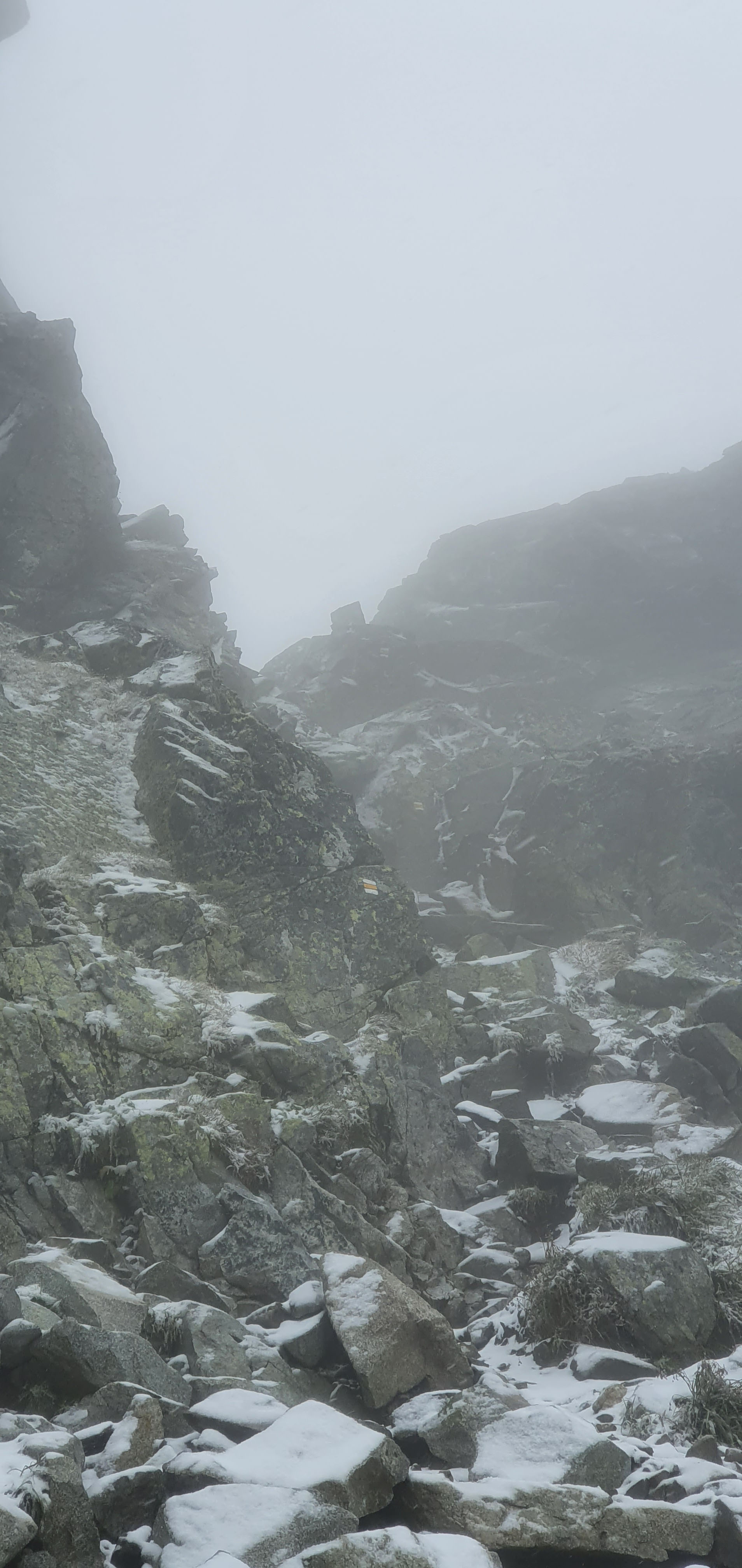
Snowstorm on the way to the saddle
Why had nobody warned us that it could become so dangerous up here? Apart, of course, from the man who had warned us very explicitly.
On the other side of the saddle, the trail led past the Wahlenbergove plesá into Furkotská dolina. By now, the rock was completely iced over, and even the few grassy patches were barely passable because of the slippery slush. Shaking our heads and paying the utmost attention, we continued the descent and, to put it mildly, fell flat on our faces more than once (dozens of times). Then came the next sea of rocks. At some point, waymarkers had apparently been painted onto the boulders at regular intervals. That is extremely helpful – the only slight drawback being that you cannot see them beneath a layer of snow. Here, the GPSMAP once again proved to be one of the most useful items in my backpack. More than once, the saved route helped us find the trail again. After a slow and painful descent, we eventually reached Štrbské Pleso several hours later – thoroughly bedraggled, battered and considerably less enthusiastic about spontaneous high-mountain expeditions.
In my friend’s defence, I should add that after the warning, he considered turning back several times. I was the one who kept persuading him to carry on. Perhaps it was oxygen-deprivation-induced wanderlust. Gross stupidity on my part would, however, be an equally robust explanation.
We spent the following day entirely in the holiday apartment, watching one episode of Stranger Things after another. As a way of recovering from a high-mountain tour, it was surprisingly pleasant.
The most important lesson from the hike is therefore this: listen to more experienced hikers, especially when they have just come from the direction in which you desperately want to continue. And a poncho is not a meteorological free pass.
Fourth Hike: Tichá dolina
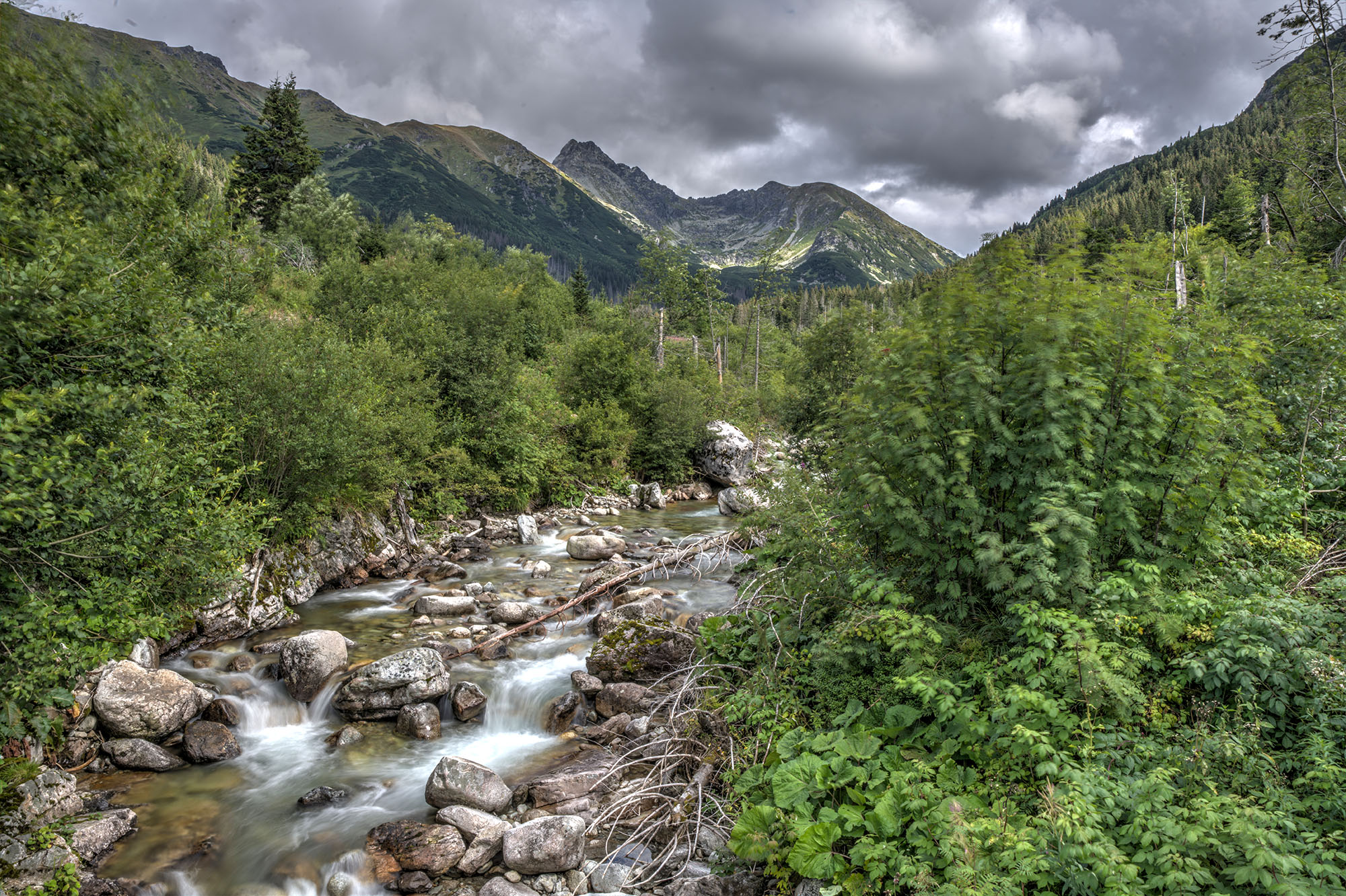
The Silent Valley
After accidentally venturing several kilometres into Tichá dolina a few days earlier, we decided that following our little exercise session at Bystrá lávka, we really would take things easier this time. The Silent Valley had left an uhhh… pleasantly silent impression. So we wanted to find out just how much quieter it became farther in.
In BaseCamp, I planned a hike that would take us from Podbanské, first across the Belá and then along the Tichý potok to the trail junction below Kasprowy Wierch. From there, we would return along the same route. The distance was around 26 kilometres. For an elite athlete such as myself, however, the tour had one decisive advantage: by Tatra standards, it involved virtually no ascent. We only had around 470 metres of elevation gain to overcome. As a “short” final hike, it seemed entirely manageable.
I took the gentle gradient as official permission to put the DSLR back in my hiking backpack for the first time. Some learning curves are apparently not linear. The tour was particularly memorable for the picturesque views of the surrounding mountains. The Silent Valley lived up to its name: for long stretches, we did not meet a soul. After our experience at Bystrá lávka, it felt almost suspiciously peaceful.
Without a snowstorm, chain-secured passages or acute fear of death, we completed the hike in around seven hours. Compared with the previous tour, that sounds almost uneventful, but in this case it was intended as the highest possible praise.
The Journey Home
The next day, we left Poprad and drove back to Germany via the Czech Republic. We made one final stop in Rudina in north-western Slovakia. There, we finished our trip with a visit to the local trials park, which had already hosted several major competitions. A journey on which trials parks had occupied such a permanent place in the itinerary could hardly end at an ordinary motorway service station.
Afterwards, we continued our journey home.
Conclusion: Pocket-Sized Alps
Our stay in the High Tatras was simply fantastic. They pack a remarkably demanding high-mountain landscape into a comparatively compact area – a kind of pocket-sized Alps, although you have to imagine a suitably rugged pocket. This meant we never had to drive for hours from our accommodation, yet could still explore very different landscapes and hiking areas.
The High Tatras also offer a broad range of difficulty levels (not to be confused with my stupidity levels). From almost flat tours through quiet valleys to demanding high-mountain trails, there should be something for almost everyone.
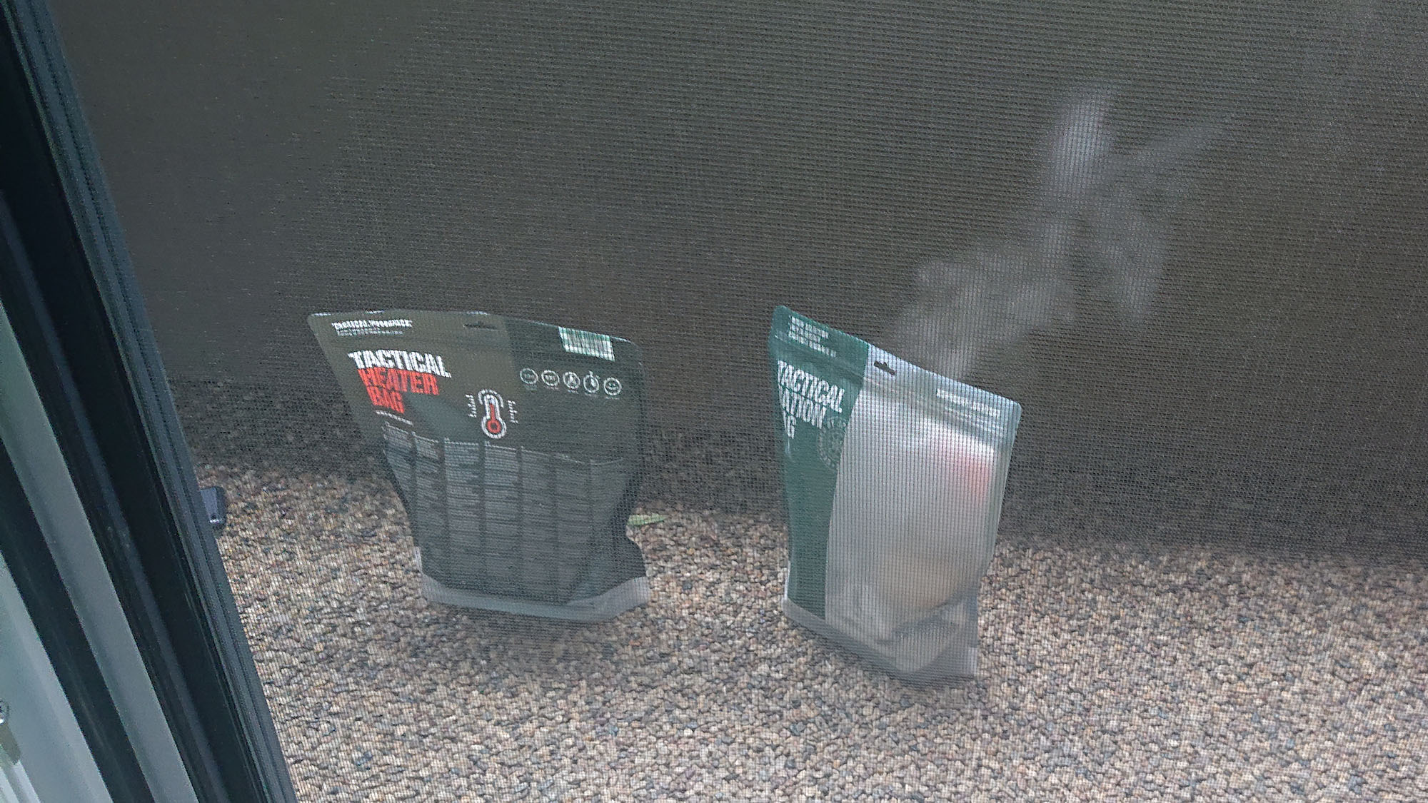
In the end, we prepared the Tactical Foodpacks on the balcony of our vacation apartment. They were surprisingly tasty.
At the same time, the mountains are in many places less developed for tourism than the Alps we knew – which was exactly what we had been looking for. Many trails have fewer mountain huts, benches and shelters. That makes for plenty of peace and quiet, but it also means having to think a little more carefully about equipment and food. Among other things, I learned that Tactical Foodpacks may sound impressively expedition-ready, but they are not necessarily the best choice for an ordinary day hike. A simple sandwich does not require a chemical heater, weighs less and does not require an improvised field kitchen on the trail. Sometimes the less technically elaborate solution really is the better one.
We encountered other people only rarely on many sections as well. The density of men issuing warnings along the trails may have been low, but their hit rate was remarkably high. Even before our departure, colleagues who had already visited the High Tatras had warned me not to underestimate the mountains. By now, I can pass on that warning with a certain amount of practical experience: just because a mountain range looks compact does not make it harmless. And we have not even mentioned possible encounters with bears. Fortunately, we did not see a single one. During our stay, the animals apparently had the better survival instinct.
For future hikes, the journey was an excellent stress test – for my equipment, my fitness and my occasionally flexible judgement. Since then, I have had a much better idea of what absolutely belongs in the backpack and what can safely stay at home.
I would still return to the High Tatras at any time. Next time, however, with fewer lenses, more respect for warning trail-runners and one perfectly ordinary sandwich.